Trail Tales
Trail Tales leads us on a journey to discover Fidalgo Bay’s natural beauty, diverse ecology, and history while calling us to restore and protect it for future generations.
In June of 2015, we added new Discovery Points. Now Trail Tales covers the Guemes Channel to the trestle across Fidalgo Bay. Click here to see the newest additions.
Our shoreline interpretive program offers recreational and educational opportunities for the local community and visitors to the area in partnership with Washington Department of Ecology (Ecology), Anacortes Parks & Recreation, Anacortes Museum, Port of Anacortes, and Samish Indian Nation. Trail Tales has trained volunteer docents who develop and lead interpretive programs during the spring and summer on various subjects.
Our goals are to increase public awareness and participation in Ecology’s Anacortes Baywide Cleanup Project, as well as to protect the health of the Salish Sea starting right here in Skagit County. With help from local donors, the Friend of Skagit Beaches has installed 15 interpretive signs organized into “Discovery Points" described below.
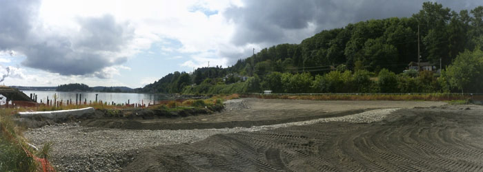
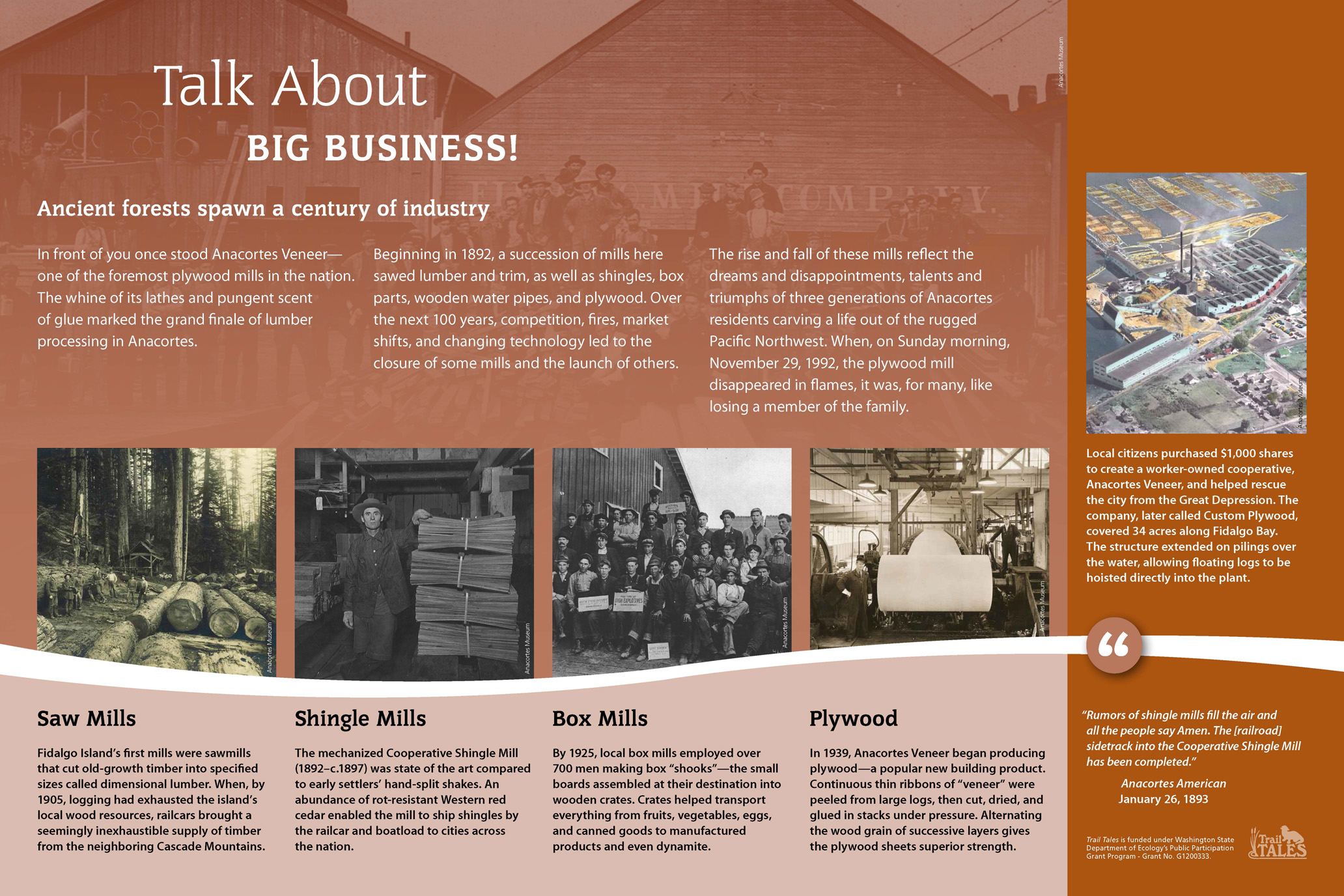
Plywood Mill Discovery Point
Map Location #8
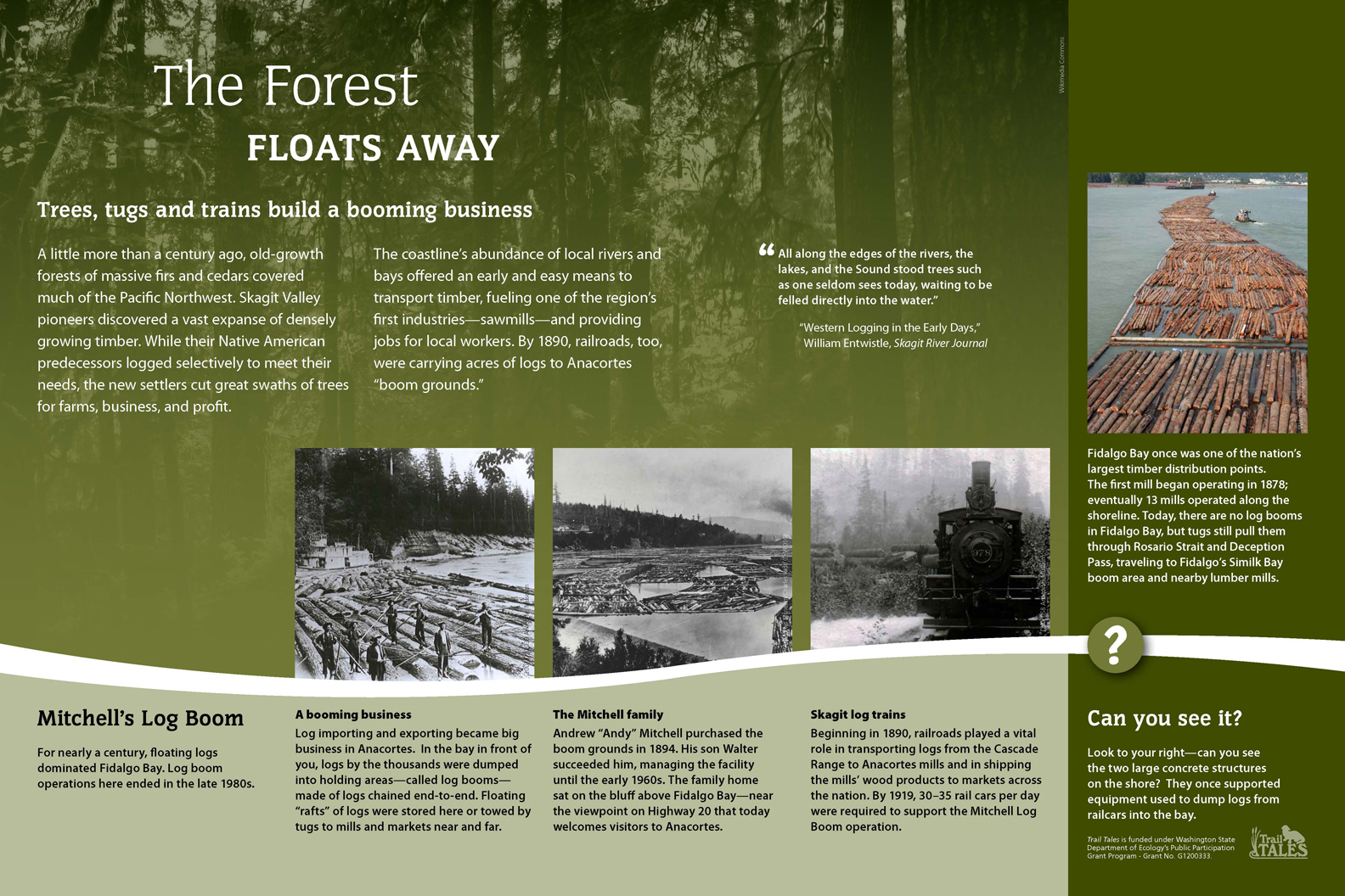
Wood processing mills were the foundation of Anacortes’ early economic development. These mills provided jobs, building materials, and commercial products that sustained the City’s early years. This important industry helped sustain the community into 20th century when the last mill closed. The wood processing mills along the Anacortes shoreline produced a wide variety of products including shingles, dimensional lumber, boxes, pipes, and plywood over a century of operation.
Watershed to Sea Discovery Point
Map Location #9
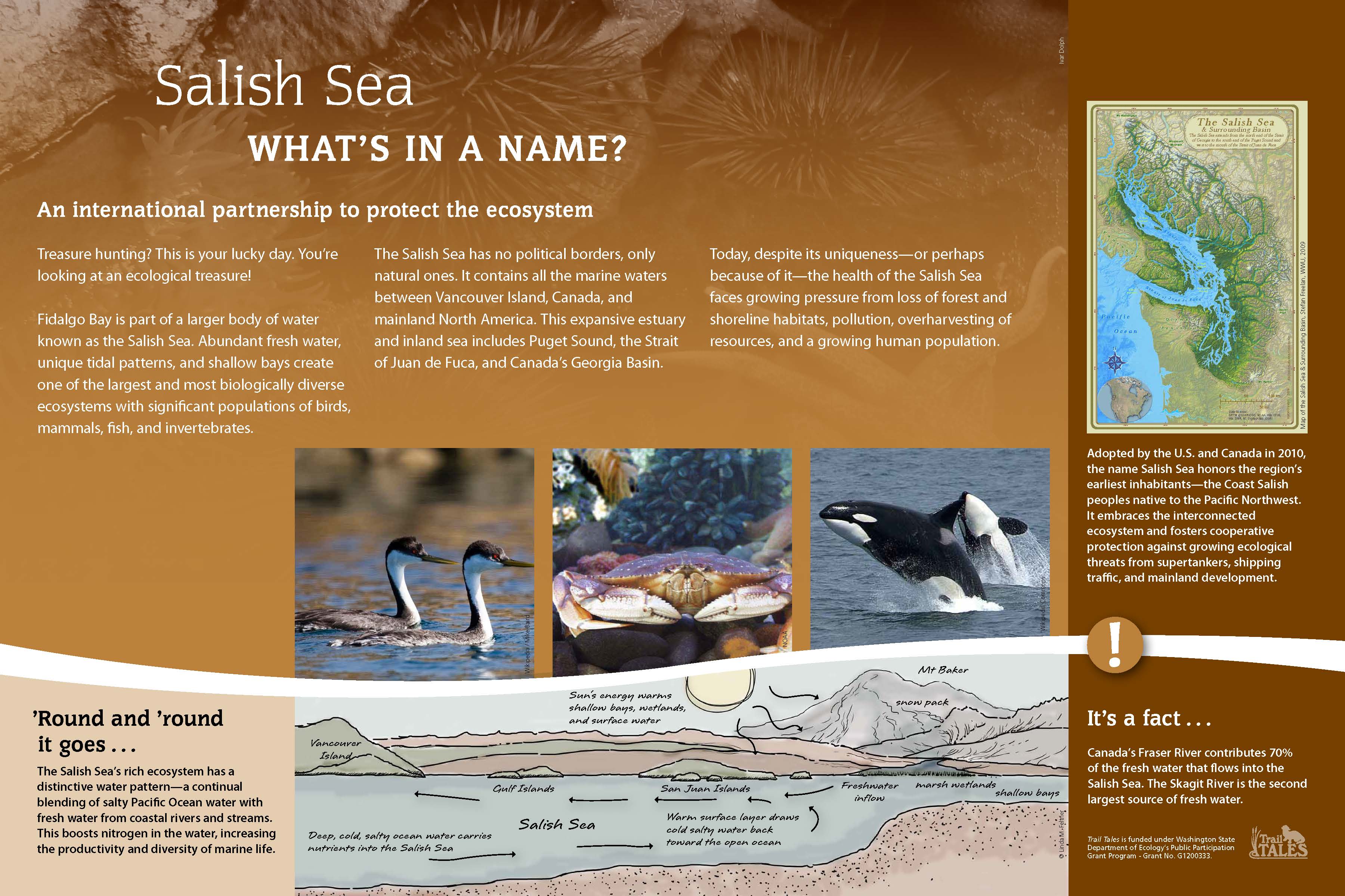
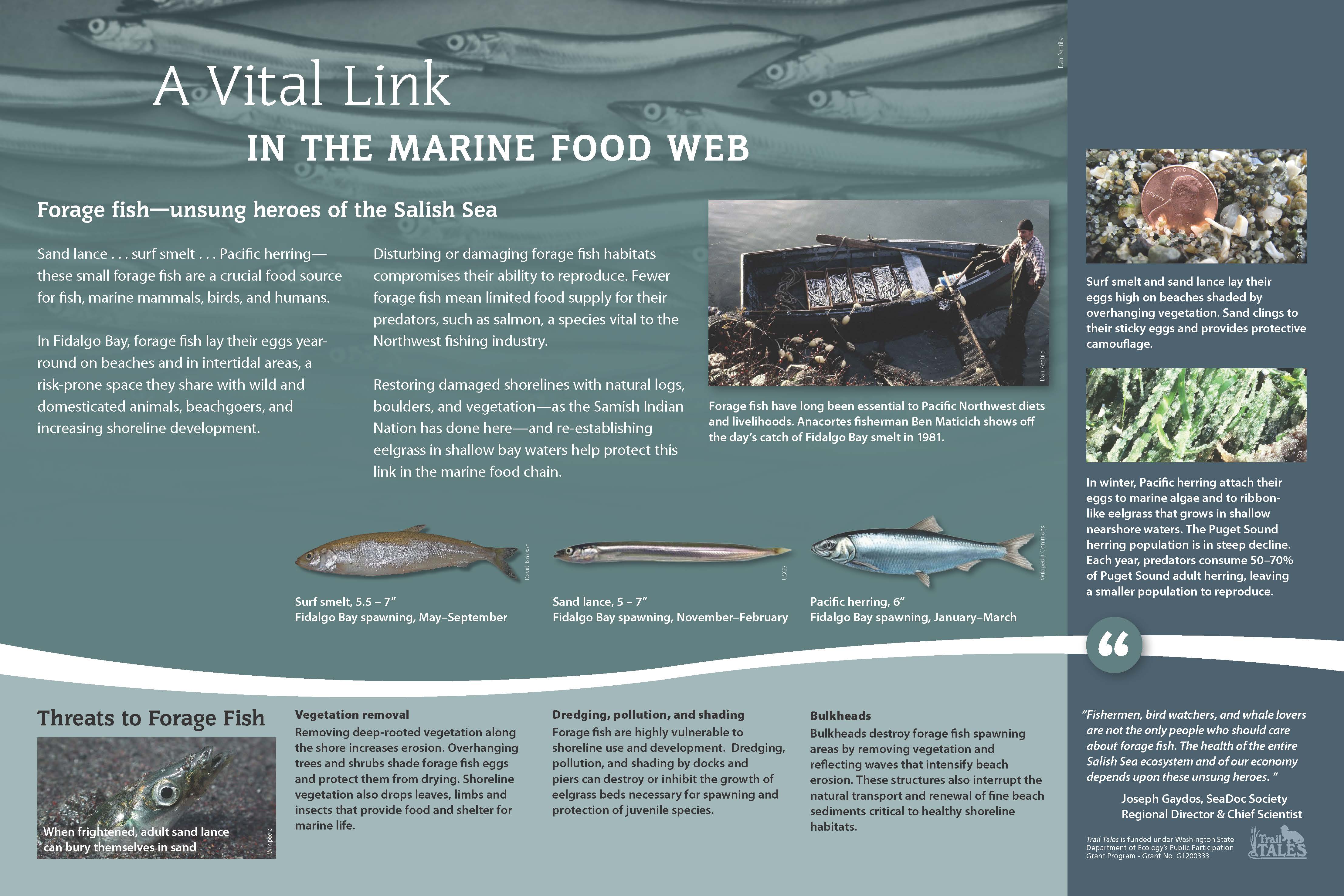
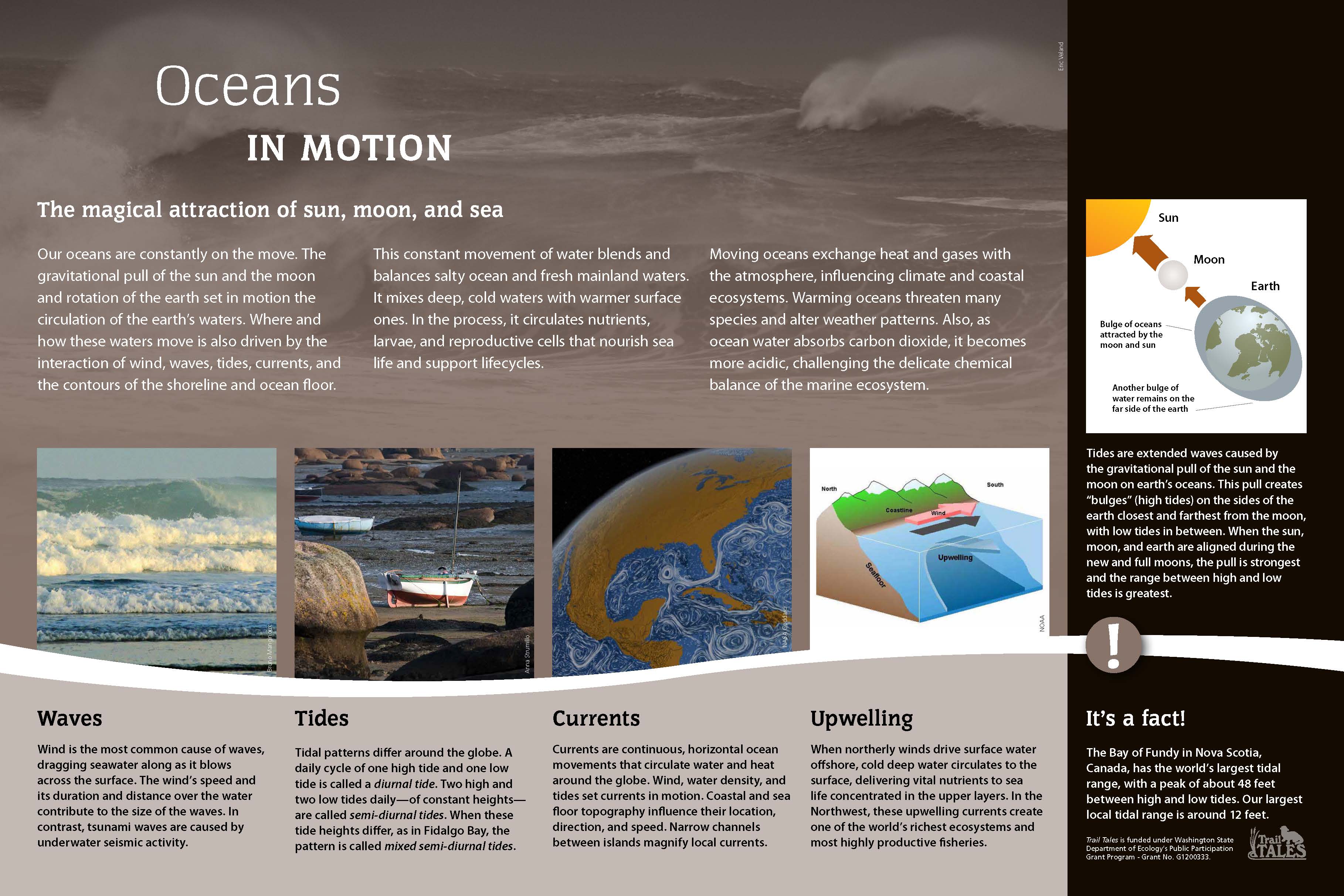
The health of our marine ecosystems is dependent on the health of the surrounding watersheds. Fidalgo Island sits in the central area of a large inland sea known as the Salish Sea. For many years, we defined this sea in terms of Canadian and US bodies of water and managed it as Puget Sound, North Sound, and Strait of Juan de Fuca and Georgia Strait. Today, we realize that the Salish Sea does not recognize individual boundaries and must be viewed as one large estuary and inland sea.
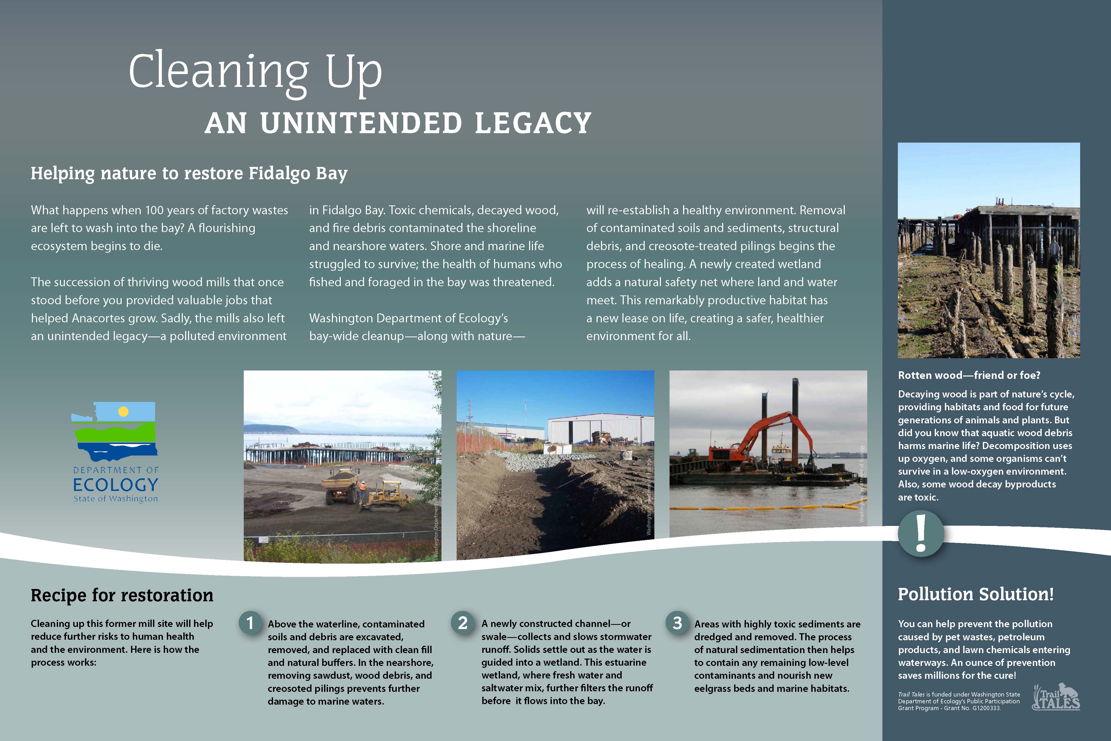
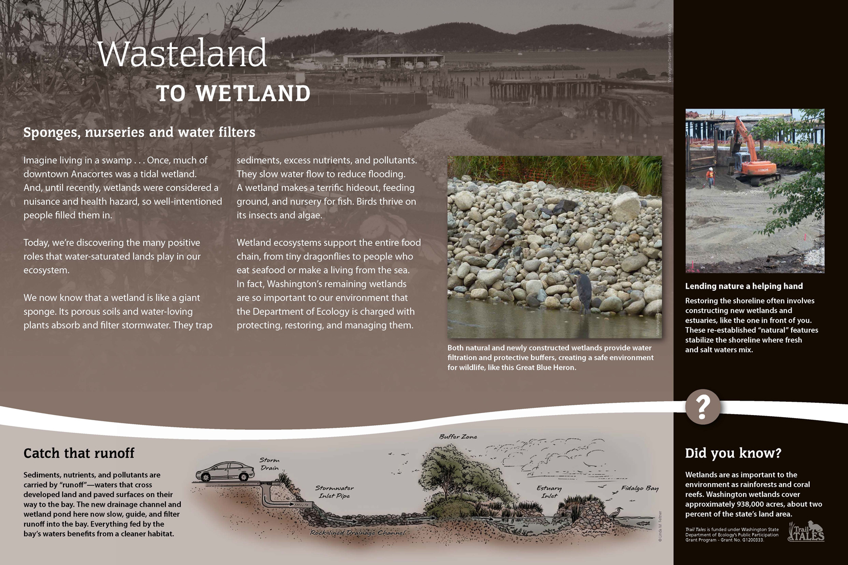
Shoreline Habitat Discovery Point
Map Location #10
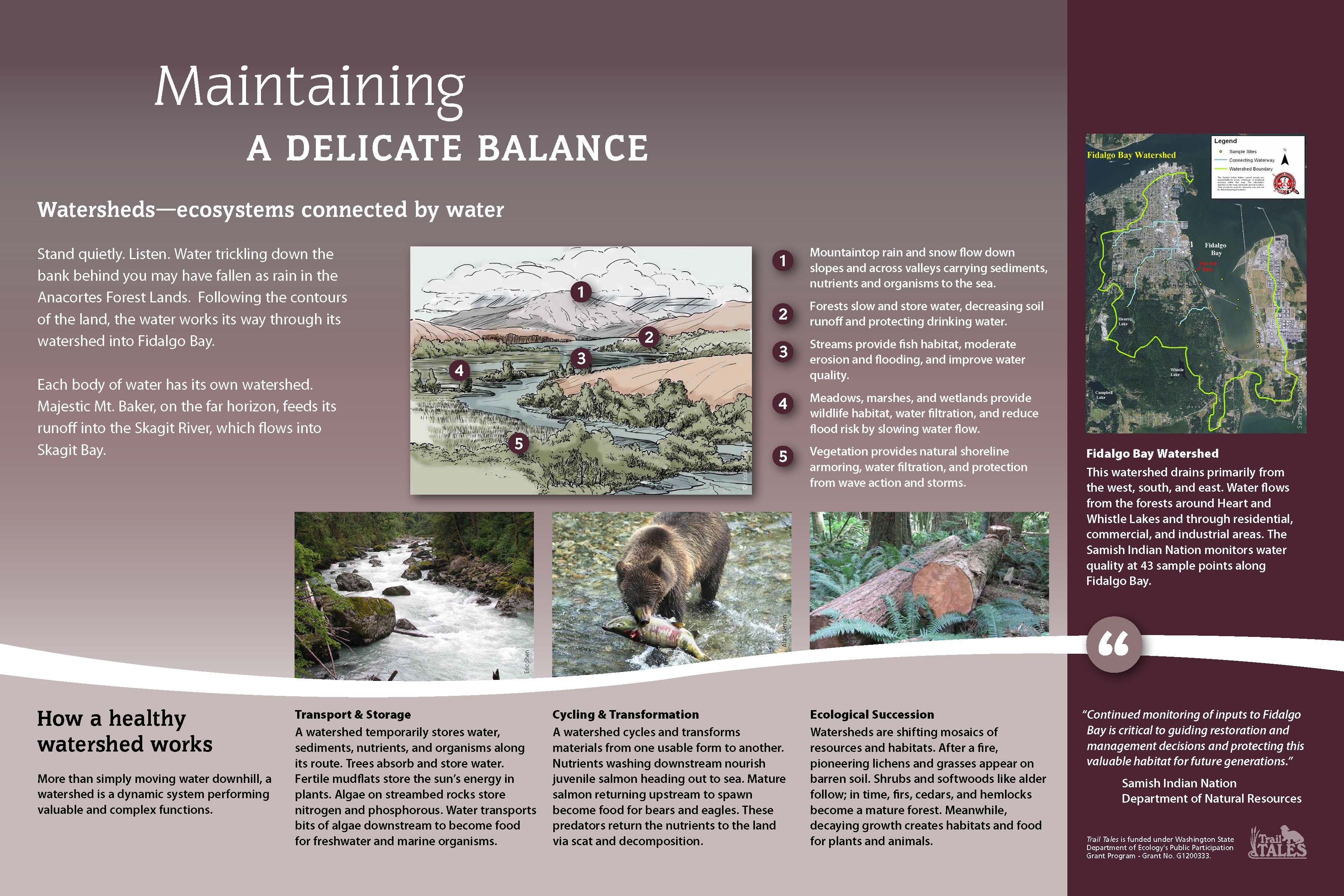
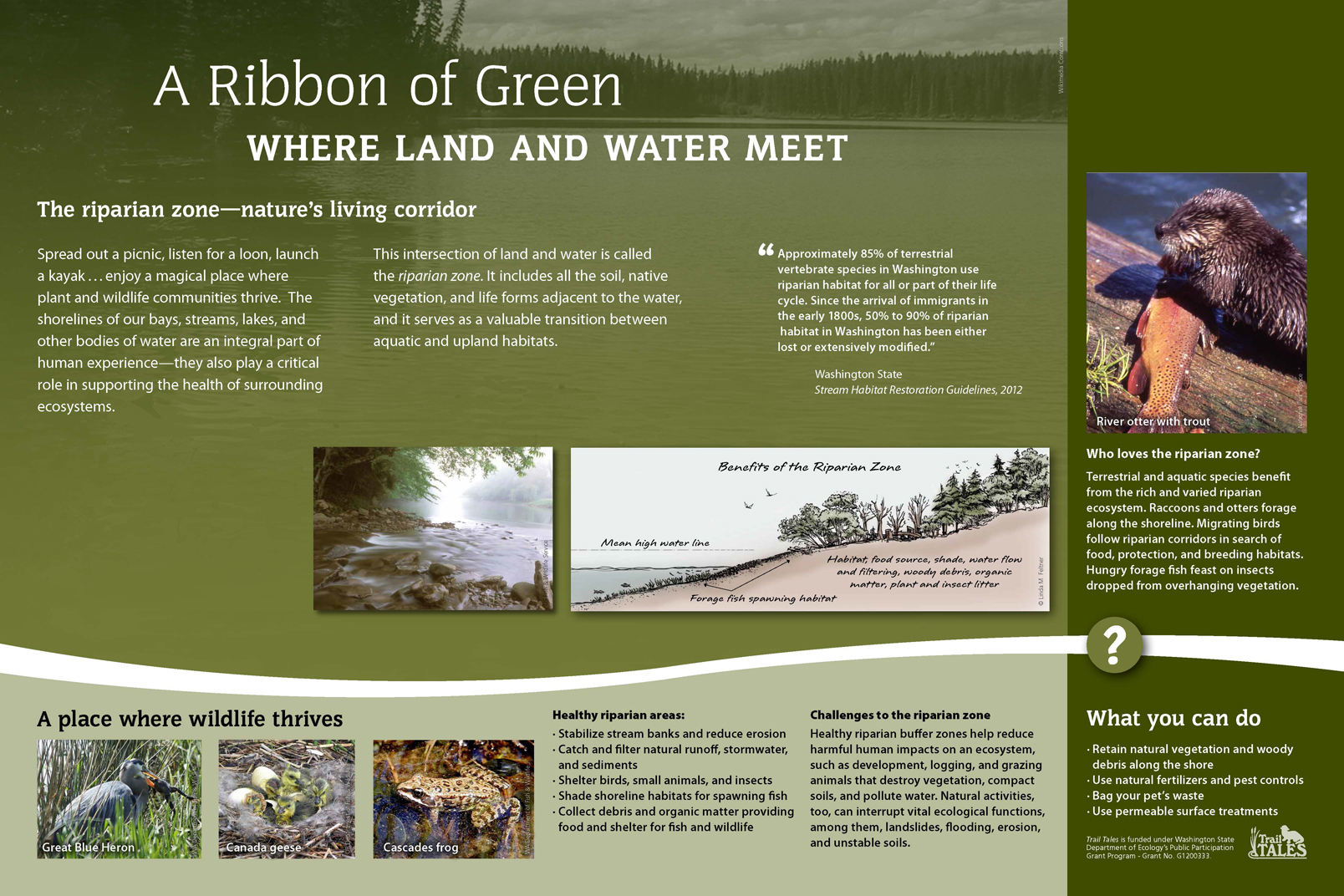
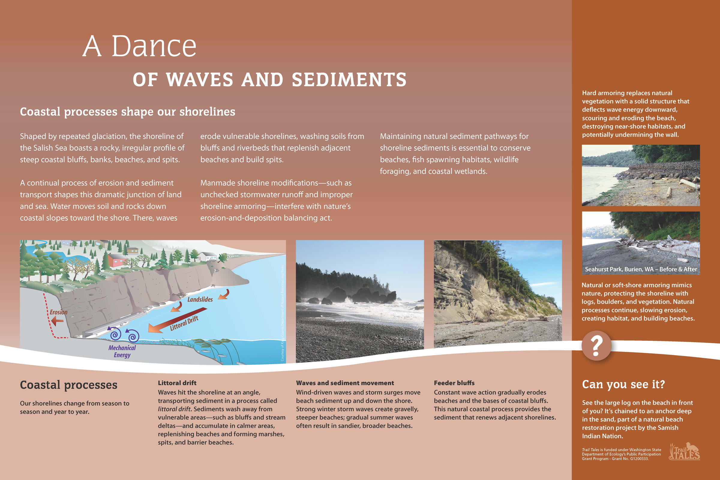
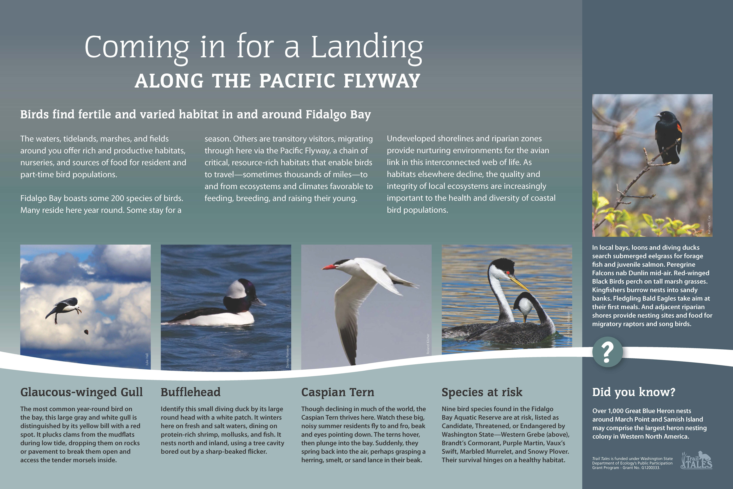
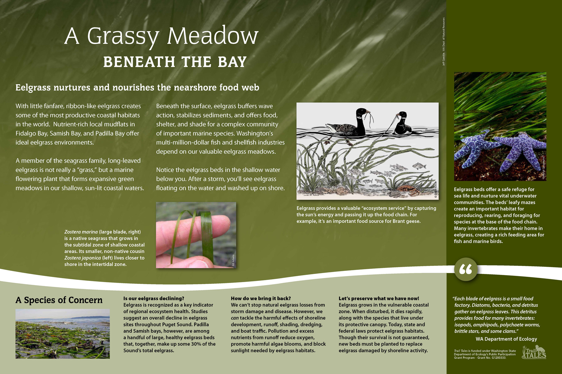
Retreating glaciers, wind, waves, and the watershed formed Fidalgo Bay over millennia. The bay is home to many important marine and shoreline plants and animals. They all depend on clean water, a healthy environment, and critical habitat features of the shoreline. Fidalgo Bay has been significantly altered by human actions - diking along highway 20, shoreline fill, railroad bridges, and industrial activities - since settlers arrived in the late 1800s.
Weaverling Spit Discovery Point
Map Location #11
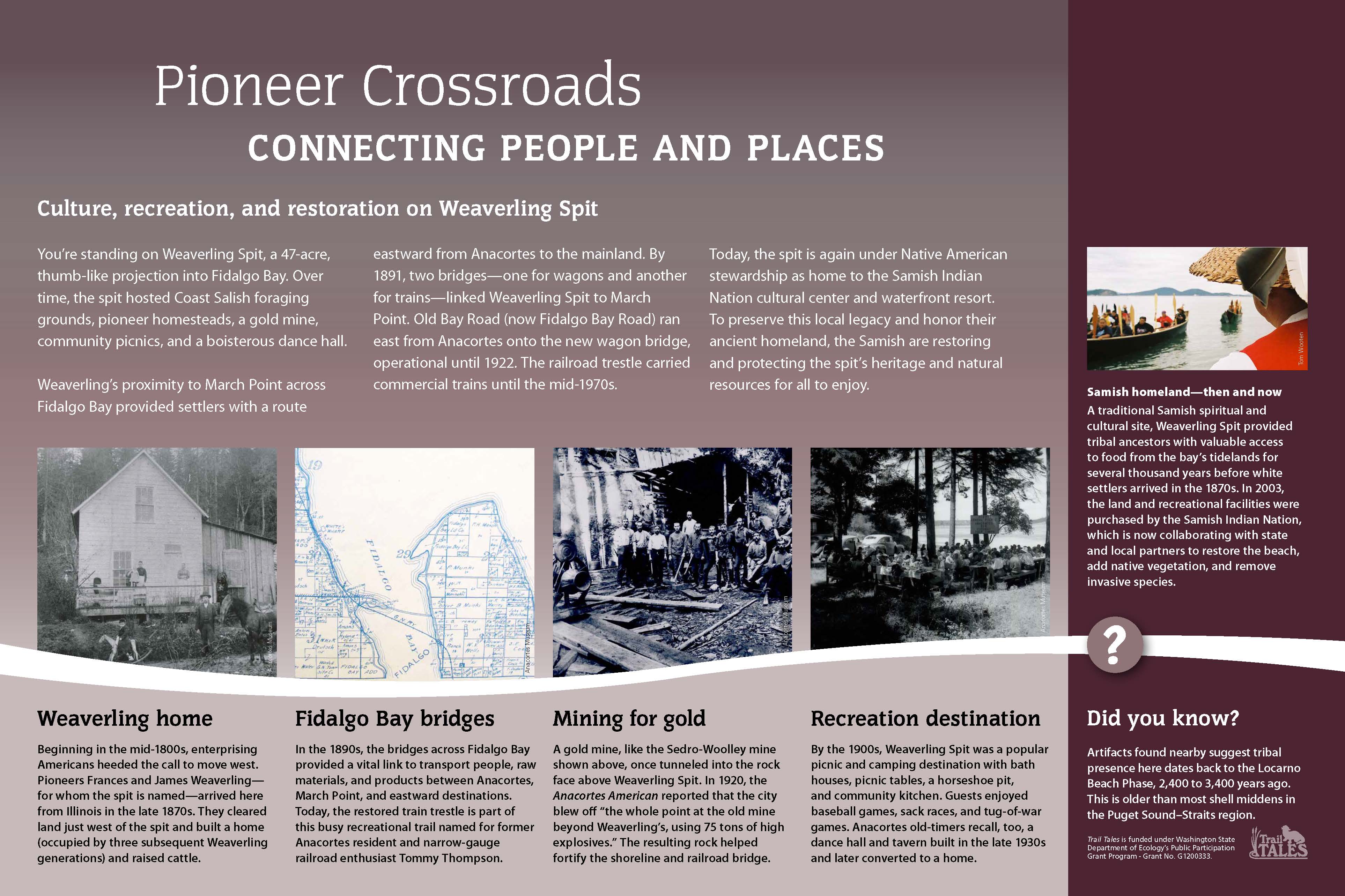
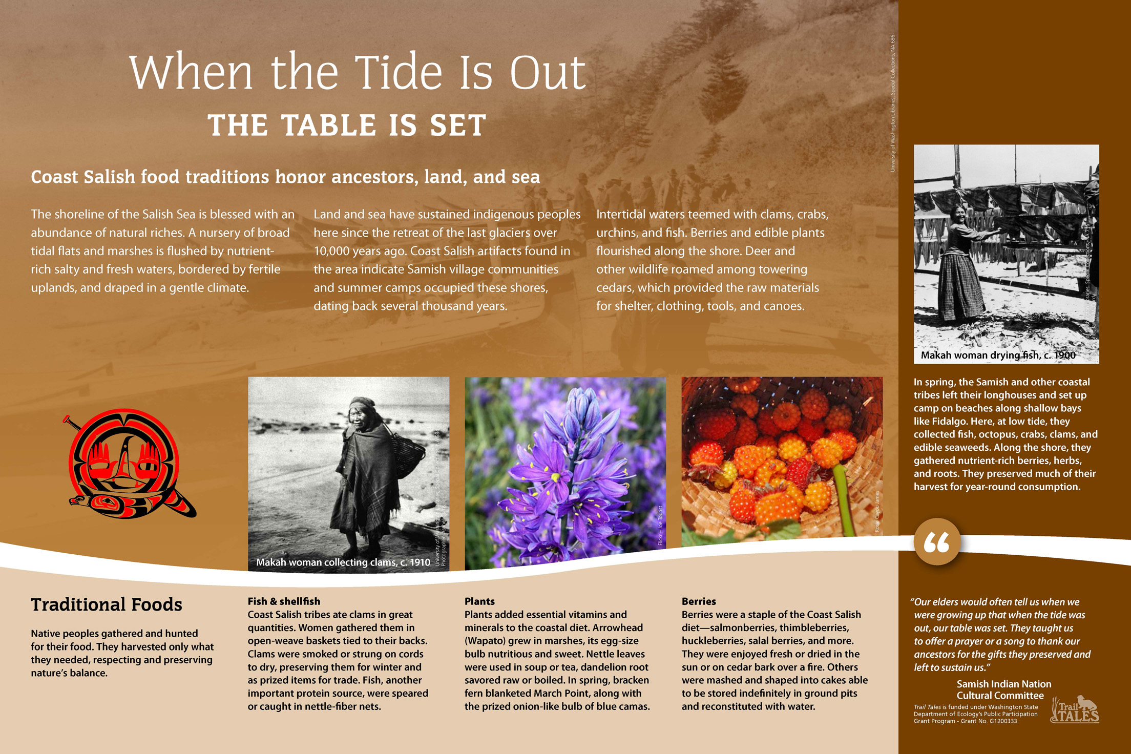
Weaverling Spit, thumb-like projection into Fidalgo Bay, and the March Point peninsula just across the bay have a rich cultural history. The story starts after the last ice age when the first settlers, Coast Salish ancestors, arrived to the area. Indigenous peoples found an attractive landing spot for foraging and summer encampments. Artifacts date found here date back several thousand years.
Causeway - Trestle Discovery Points
Map Location #12
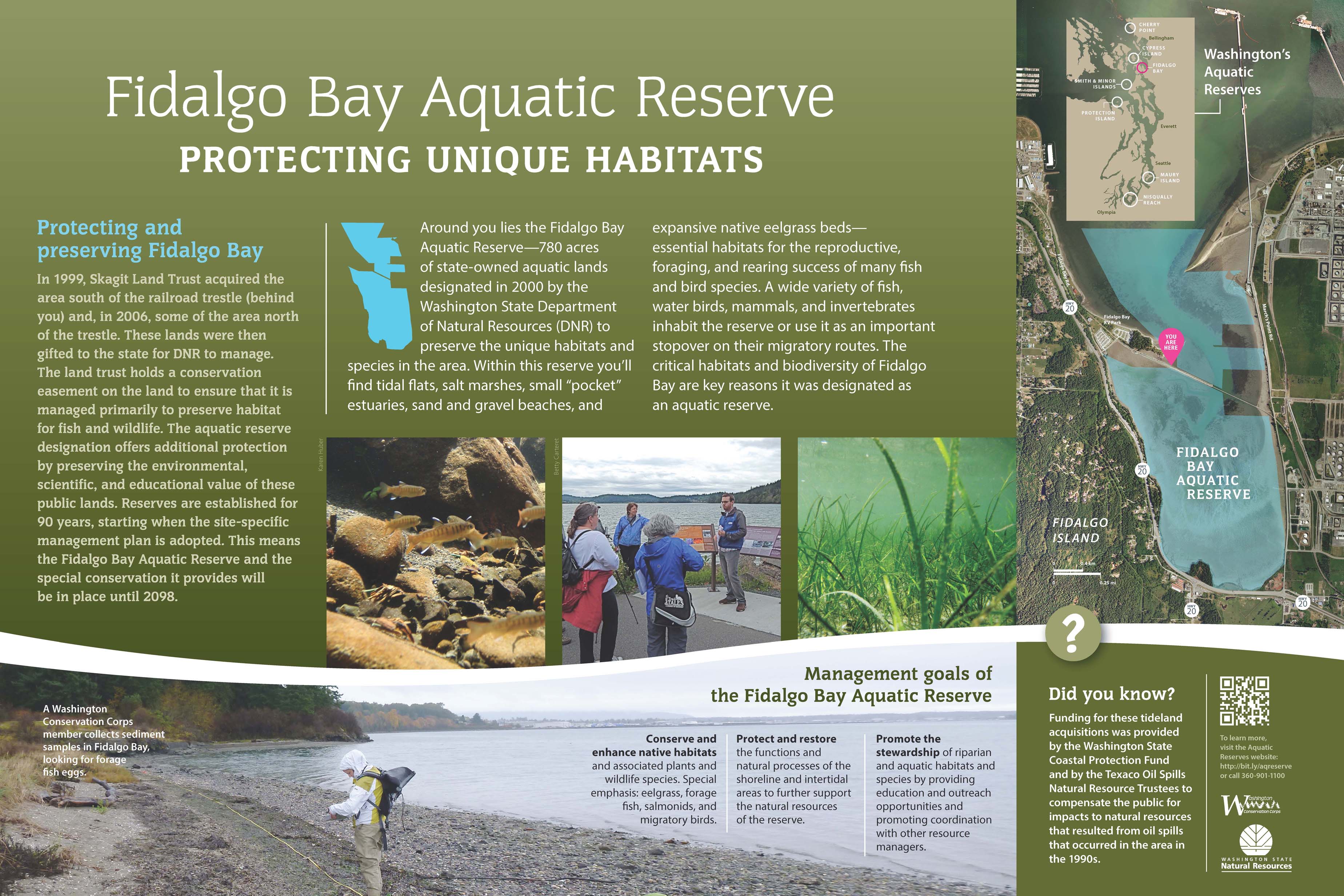
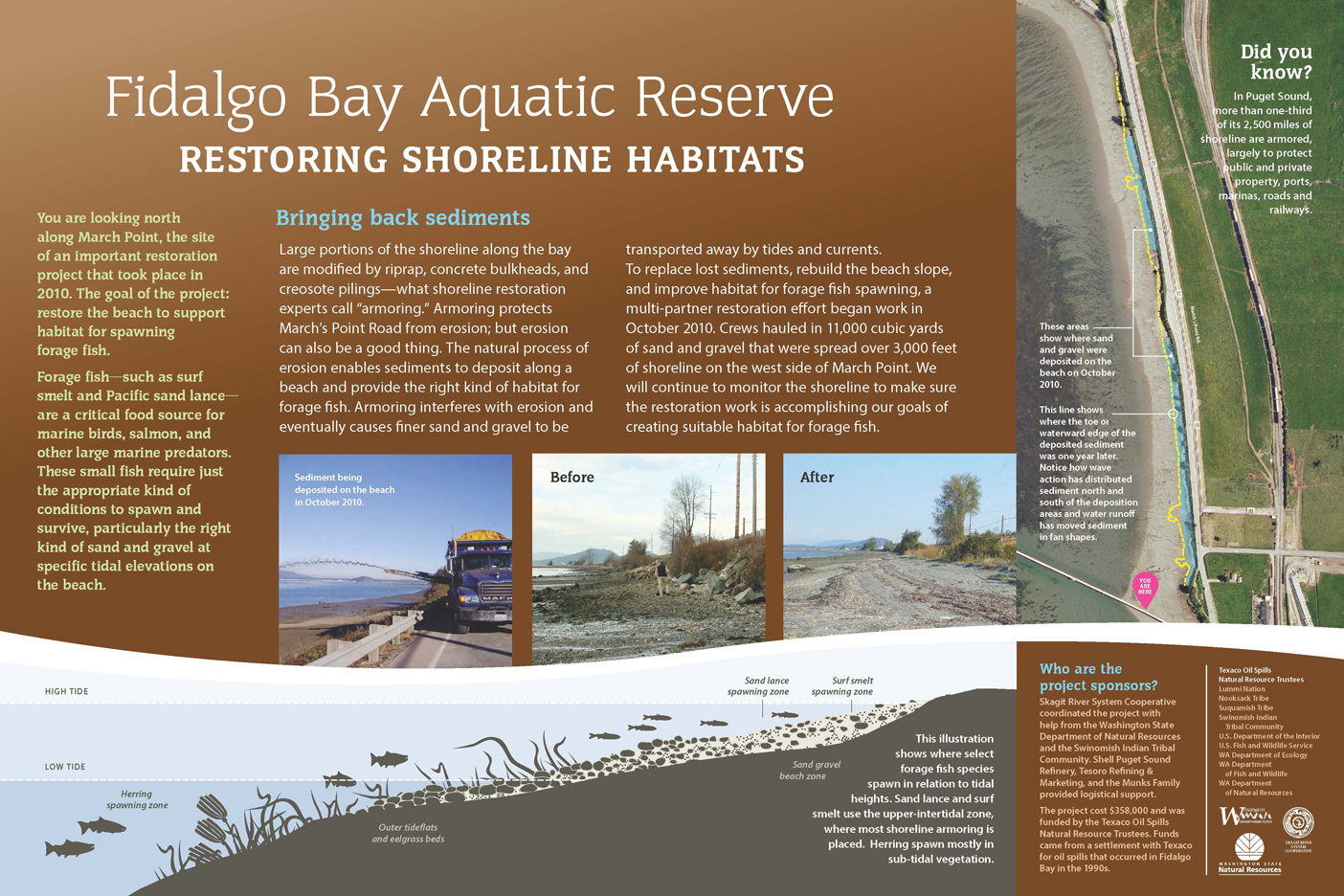
The natural wonders of Fidalgo Bay call us to enjoy and learn more about it today and to protect it for future generations. Because of its great habitat value, Fidalgo Bay has been designed as one of seven Washington State aquatic reserves managed by the WA Dept. of Natural Resources. Fidalgo Bay reveals is many faces during the four daily tide cycles that move water in and out of the bay.
Map Location #13
To explore additional Phase 2 sign groups near Cap Sante Marina and on Guemes Channel, click here.